- From Brüttisellen to Lushton 1
- From Brüttisellen to Lushton 2
- From Brüttisellen to Lushton 3
- From Brüttisellen to Lushton 4
- From Brüttisellen to Lushton 5
- From Brüttisellen to Lushton 6
- From Brüttisellen to Lushton 7
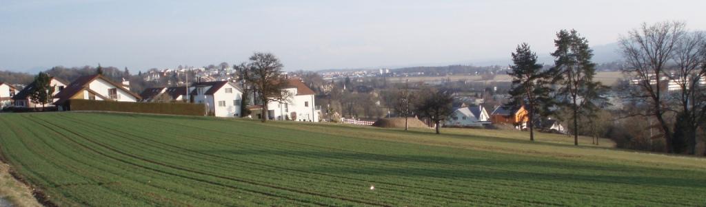
Heinrich Bühler, born sometime around 1580, lived for a part of his life in the village pictured to the right: Brüttisellen. When he was in his early twenties, he joined the Anabaptist branch of the Protestant Reformation, eventually journeying 450 miles east to a Hutterite Bruderhof in Moravia.
From Brüttisellen to Lushton 2
Heinrich’s move to Moravia was motivated by severe persecution of all Anabaptist groups by the state church of Switzerland, the Reformed Church. Although Heinrich fled persecution alongside other Anabaptists, he was different in one important respect: he belonged to a Hutterite community that practiced a sort of communal living and the holding of all possessions in common rather than individually.
From Brüttisellen to Lushton 3
Heinrich was not just any Hutterite, in fact; he was a fearless missionary who traveled back to Zurich four times in twelve years in hopes of winning new converts to the Hutterite faith and life. In 1614 he was imprisoned in Zurich’s Wellenberg tower in the middle of the Limmat River and threatened with even worse punishment if ever he showed his face in Zurich again.
From Brüttisellen to Lushton 4
So it was that Heinrich returned to his Bruderhof in Wessely, Moravia, on the banks of the March (now Moravou) River, on the border between Moravia and Hungary.

It is likely that Heinrich tended grape vines during his time at Wessely, since he had told the Zurich authorities that that was his trade.
From Brüttisellen to Lushton 6
Unfortunately, Heinrich’s peaceful life did not last long, and his world burst into flames with the onset of the Thirty Years’ War in 1618. The troops of the Holy Roman Empire (Catholic) and those of the Bohemian and Austrian nobles (Protestant) warred back and forth across Moravia, leaving a scorched earth in their wake. In early 1621 the emperor’s troops burned Wessely to the ground. When and how and where Heinrich escaped we can only guess.
From Brüttisellen to Lushton 7
We presume that Heinrich and family moved north approximately 400 miles to a village near the Vistula River: Deutsch Konopat, which is where we will pick up the story with the next installment of From Brüttisellen to Lushton.
In the meantime, let’s return to a question that has been left hanging for over a month: In the map below, what are the close-set parallel lines southeast of Deutsch Konopat, northeast of Culm, and elsewhere?

In the meantime, let’s return to a question that has been left hanging for over a month: In the map below, what are the close-set parallel lines southeast of Deutsch Konopat, northeast of Culm, and elsewhere?
Perhaps the satellite photo below will clarify.

Or maybe we need to zoom in a little, maybe even go to ground-level:


In fact, the close-set parallel lines on the old map are the boundaries of narrow strip fields, some of which remain even today. Although we may think of farmland being divided into 160-acre squares, this was certainly not the case in Europe. In both West Prussia (Poland) of the seventeenth century and the Molotschna colony of the nineteenth century, fields were no more than narrow strips of land. More on this later!
No comments:
Post a Comment